
Geography
Geography of Socotra
General Information
- Area: 3,796 km²
- Capital/Administrative center: HADIBO
- Population: approx. 85,000 inhabitants (according to 2024 census)
- Religion: Islam
- Languages: Soqotri / Arabic
- Ethnic Composition: Socotrans / Afro-Arabs
- Phone code: +967
- Currency: 1 Yemeni Rial (YER) = 100 fils (unofficial exchange rate as of 5/2025: 1 USD = approx. 2200–2500 YER)
- Highest point: Skant – "Garnet Needle" – 1,525 m above sea level
Socotra Island lies in the Arabian Sea of the Indian Ocean, approximately 380 km south of Yemen and 240 km from the eastern coast of Somalia. It is the largest and the only permanently inhabited island of the Socotra Archipelago, which also includes three other islands: Samha, Darsa, and Abd al Kuri. Socotra officially belongs to Yemen, but geographically it is considered an integral part of Africa. The island stretches 135 km from east to west and 42 km from north to south.
The separation of the island from the Arabian and African continental mass created an incredibly diverse geological structure and, most importantly, a unique endemic fauna and flora.
The central mountain Hagher massif, composed of granite bedrock and metamorphic rocks, with the highest peak Skant (Garnet Needle), rises to an elevation of 1,525 m above sea level. The island is interwoven with a dense network of cave systems, most of which remain unexplored.
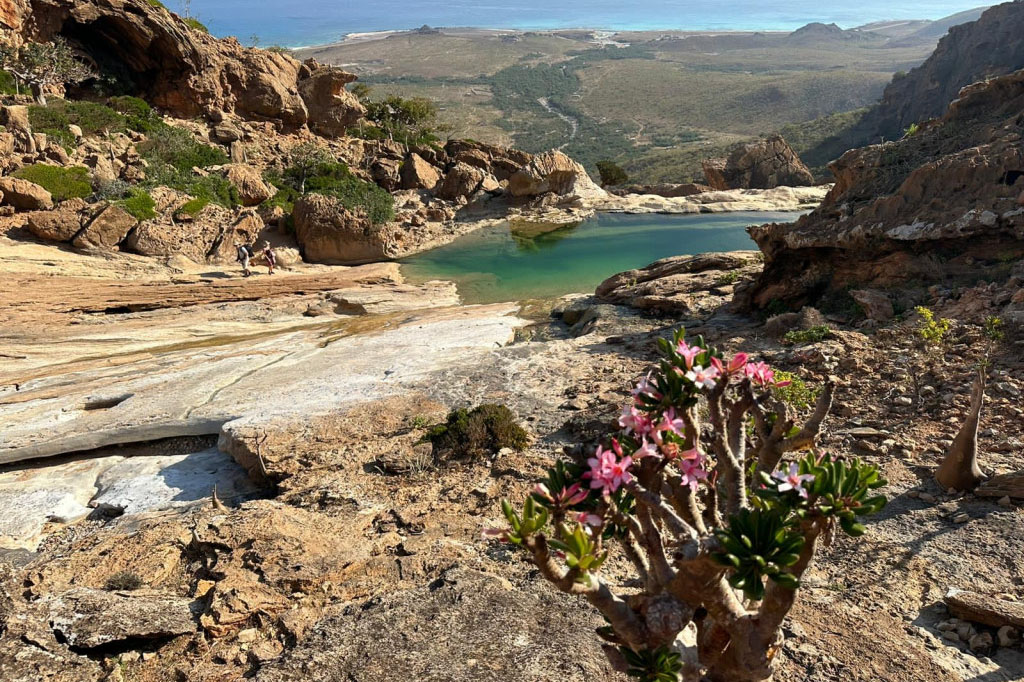
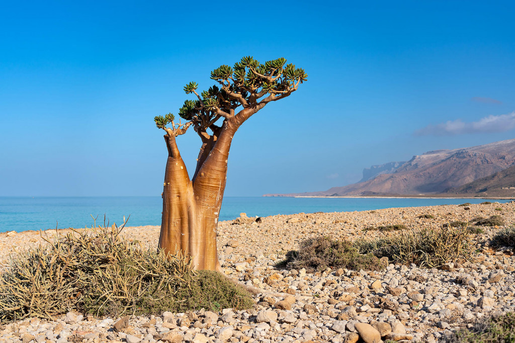
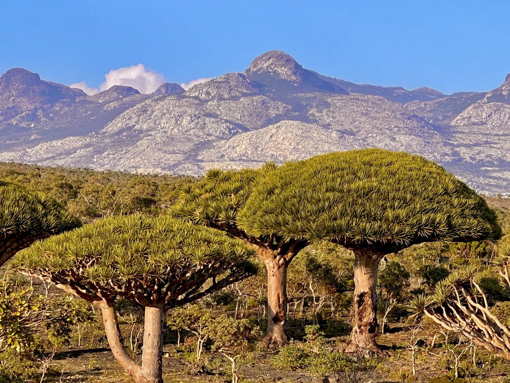
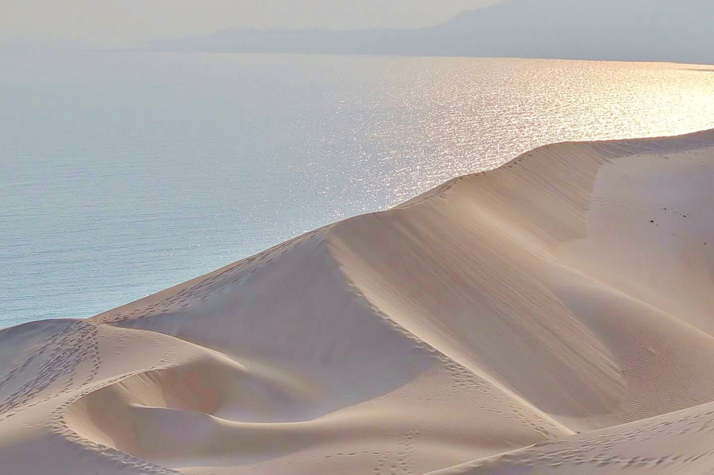
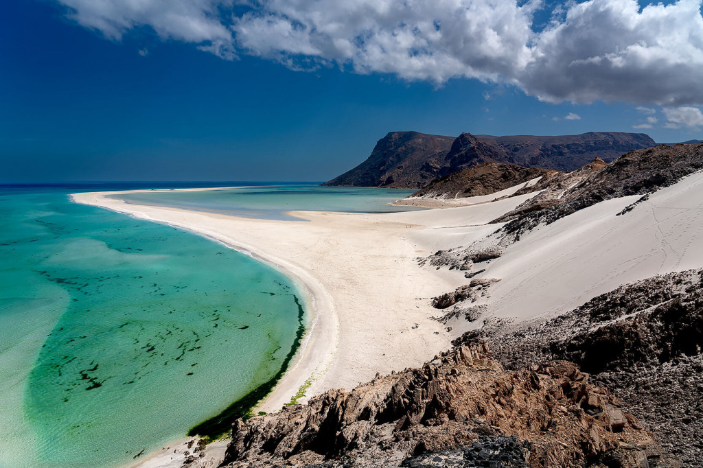
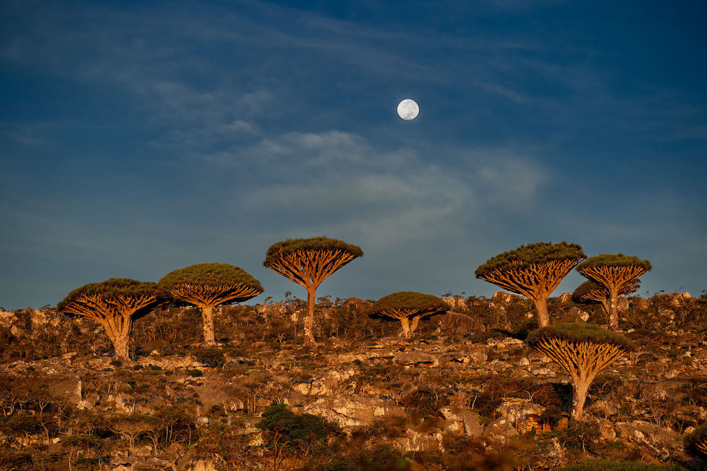
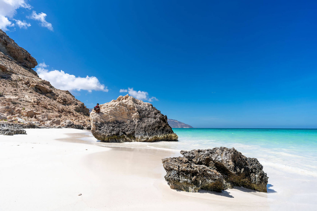
Flat areas covered with white coral sand transition into shrub-covered plateaus scattered with bizarre Dragon Blood trees (Dracaena cinnabari), bottle trees, myrrh trees, frankincense trees, and pomegranate trees. Crystal-clear azure lagoons dramatically contrast with vast plateaus of Cretaceous limestone and deeply carved canyons (known as wadis).
Due to long-term isolation from the rest of the world, life on Socotra evolved in a completely unique way. The result is more than 300 species of plants, 24 species of reptiles, 190 species of birds, and over 300 species of invertebrates that are found nowhere else in the world (so-called endemic species). Thanks to this uniqueness, Socotra earned the nickname "Galápagos of the Indian Ocean" and was inscribed on the UNESCO World Heritage List in 2008.
The Largest City – Hadibo
Hadibo does not resemble a typical capital city in the usual sense. For a tourist from the West, it looks more like a village with a higher concentration of residents. The environment feels somewhat chaotic; the buildings lack architectural order and cohesion. Nevertheless, Hadibo impresses with its unique and raw atmosphere, derived from its unmistakable originality and rugged character. You’ll find a few lower-category hotels, some simple eateries, restaurants, bakeries, and grocery stores in the town center.
The island currently has only one asphalt road running along the coast, connecting the northern and southern parts of the island.
This road links the airport with the largest city, Hadibo. Other roads consist of dirt and rocky tracks.


